

Total snowfall expected is 5 to 10 cm with higher amounts possible, especially over higher terrain.
Tomorrow’s travel is expected to be hazardous due to reduced visibility in a large part of the island including the west coast. Starting late overnight tonight into Wednesday morning, fresh snowfall and strong winds will combine to cause a period of blowing snow until the snow eventually tapers off or transitions through freezing precipitation to rain. Poor visibility in snow and blowing snow is expected or occurring in some locations. Total snowfall expected is 5 to 10 cm with higher amounts possible, especially over higher terrain. Maximum wind gusts will be southeasterly 60 to 80 km/h.
 Former politician Gerry Byrne highlights east-west divide in NL with DFO's expanded food fishery
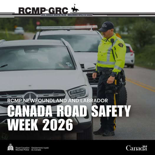 RCMP NL pull over 80 dangerous drivers during Canada Road Safety Week
 It's Islaview Day in Deer Lake!
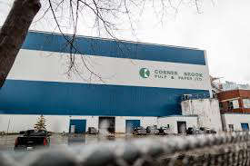 Kruger believes government is willing to work with them to support Corner Brook Pulp and Paper
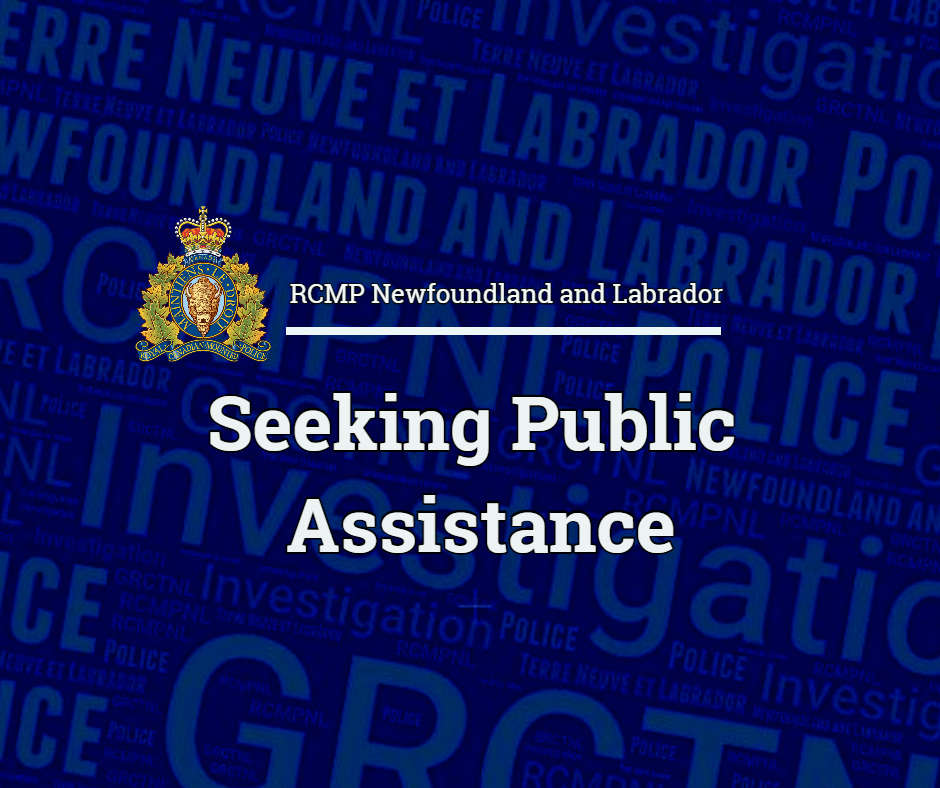 RCMP looking for information after a break in at the gas station on Main Road in Port au Port