

Heaviest snowfall is most likely to occur over Newfoundland areas late Saturday night and/or during the day Sunday, while heaviest snowfall is most likely in southeastern Labrador from later in the day Sunday until Monday (January 6).
Government has issued an advisory of a weather system that is expected to affect several regions of the province over the coming days (January 4-6). This storm is expected to bring a combination of strong gusty winds, rainfall and snowfall, along with higher-than-normal water levels to parts of the northeast coast on Sunday. There is a moderate probability of localized low-level flooding along coastal areas from Ferryland to Cape Freels on the eastern and northeastern coastline. Heaviest snowfall is most likely to occur over Newfoundland areas late Saturday night and/or during the day Sunday, while heaviest snowfall is most likely in southeastern Labrador from later in the day Sunday until Monday (January 6). Visibility will be poor at times in heavy snow, strong winds and occasional blowing snow.
Residents are encouraged to monitor the forecast from Environment Canada for the most up-to-date information.
Motorists are reminded to check driving condition reports via the NL511 mobile app, nl511.ca or call 511. Always drive according to the conditions in your area, and never cross floodwaters on foot or in a vehicle as the water may be deeper than it looks.
Visit Be Prepared for more information on emergency preparedness.
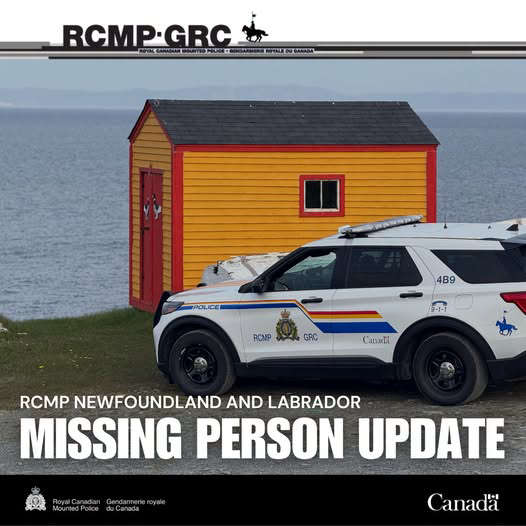 A missing man from the Clarenville area has been found deceased
 Provincial fire ban ends at midnight
 18 new affordable rental units to be built in Stephenville
 RNC urges people to look out for one another as summer festival season kicks into high gear
 Home heating rebate applications now accepted until January 15th