

Total snowfall expected is 5 to 10 cm with higher amounts possible, especially over higher terrain.
Tomorrow’s travel is expected to be hazardous due to reduced visibility in a large part of the island including the west coast. Starting late overnight tonight into Wednesday morning, fresh snowfall and strong winds will combine to cause a period of blowing snow until the snow eventually tapers off or transitions through freezing precipitation to rain. Poor visibility in snow and blowing snow is expected or occurring in some locations. Total snowfall expected is 5 to 10 cm with higher amounts possible, especially over higher terrain. Maximum wind gusts will be southeasterly 60 to 80 km/h.
 Vehicle crashes through front of Hew & Draw hotel
 March is Fraud Prevention Month and the RNC offers tips for protection
 Corner Brook Mayor urges people to report potholes
 Government is accepting applications for funding to help newcomers build a sense of belonging here
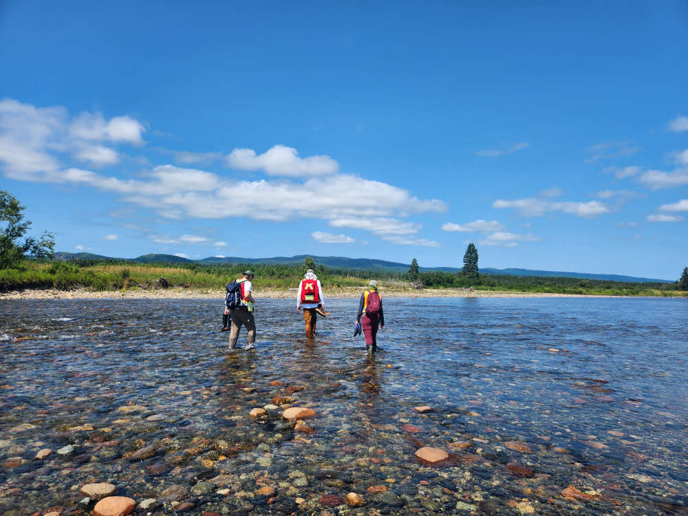 Newly established Harrys River Nature Reserve in Stephenville Crossing protects 118 hectares