
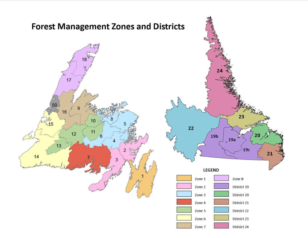
Prior to the start of forestry operations, erosion-susceptible areas in flood plain watersheds must be identified to prevent erosion during forest harvesting, including Corner Brook Stream and Bell’s Brook watersheds.
The Department of Fisheries, Forestry and Agriculture’s Crown Zone 6 Five-Year Forestry Operating Plan has been given the green light from government. However, there are conditions. Prior to the start of forestry operations, erosion-susceptible areas in flood plain watersheds must be identified to prevent erosion during forest harvesting, including Corner Brook Stream and Bell’s Brook watersheds. A Greenhouse Gas Management Plan (GGMP) must be submitted for approval by the Minister of Environment and Climate Change. A draft plan must be submitted within six months of the date of the minister's decision letter with the final plan to be submitted within one year of the decision. As well, a 30-metre protective buffer is needed around active hydrometric stations and a 100-metre buffer is required along the shoreline of South Brook and Lomond River. Robinson’s River and Middle Barachois River, will be designated a Sensitive Wildlife Area for endangered plants and species.
 Steady Brook issues advisory about river levels rising and heavy rainfall expected this evening
 Changes to water and sewer, as well as bus regulations coming at the new Corner Brook council meeting
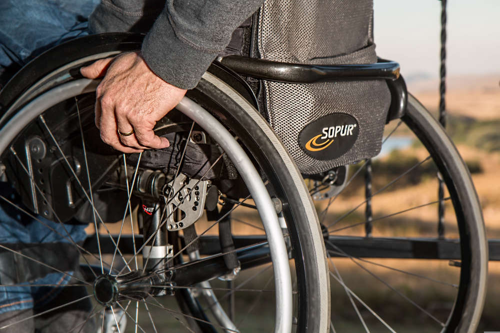 Deadline to apply for funding towards an accessible vehicle is July 20th
 “Friends of Jackie Food Drive Concert” is this Sunday at the Marina in curling
 Corner Brook council awards nearly $39K contract for pavement inspections and quality assurance